Yellow Warning for wind in Doncaster on Friday and Saturday as Storm Arwen is set to batter the UK.
and live on Freeview channel 276
Storm Arwen is set to batter UK with winds likely to cause travel disruption and damage to buildings.
The Met Office hasalso issued an amber wind warning for parts of north-east England and Scotland from Friday afternoon, lasting until Saturday morning as the result of Storm Arwen.
Advertisement
Hide AdAdvertisement
Hide AdIt says that flying debris leading to injuries or danger to life is “likely” with people also told to expect damage to trees and buildings, public transport cancellations, road and bridge closures, power cuts and large waves.
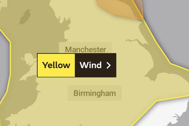

Yellow wind warnings are also in place across most western parts of the UK on Friday, extending to the rest of the country on Saturday.
Gusts are expected to reach 55 to 65 mph in parts of Scotland, Northern Ireland, Wales, south-west England and north-east England with the highest to be seen in coastal areas.
Stephen Dixon, a Met Office spokesman, told the PA news agency: “Storm Arwen has been named on the back of a deep low-pressure system moving to the north-east of the UK, which has brought about our amber wind warning on Friday.
Advertisement
Hide AdAdvertisement
Hide Ad“The worst affected areas will predominantly be on the coasts, with gusts of over 75mph bringing possible disruption to travel and longer journey times, power cuts, flying debris and large waves with beach material being thrown around.
“There is also a yellow warning of wind in place along the west coast of the UK from 9am on Friday, stretching from Scotland, through Northern Ireland and Wales and as far as south-west England.
“This reflects the impact Storm Arwen will have, with strong winds likely to occur into Saturday, when the warning is extended to most parts of the UK.
The RAC has advised drivers to prepare for strong gusts by slowing down and being “very careful” when passing high-sided vehicles or cyclists.
Advertisement
Hide AdAdvertisement
Hide AdSpokesman Simon Williams said: “In extreme windy conditions, bridges may also be closed and trees may fall so it’s important to allow extra time for journeys.
“With forecasters predicting strong winds together with colder conditions, drivers should take this opportunity to prepare their vehicles for winter by checking oil and coolant levels, ensuring they have enough good quality screen wash that protects down to well below minus 10C, as well as having properly inflated tyres with good tread.”
Tonight:
A dry and largely clear evening. However, shortly after midnight, cloud, strong winds and outbreaks of rain will spread in from the northwest. Minimum temperature 0 °C.
Friday:
Rain and strong winds clearing to blustery showers, heavy at times. Showers are likely to become increasingly wintry over higher ground, and perhaps down to lowers levels at times. Maximum temperature 7 °C.
Outlook for Saturday to Monday:
Advertisement
Hide AdAdvertisement
Hide AdVery windy and cold Saturday with showery outbreaks, wintry away from the coast. Brighter and less windy Sunday as showers fade away. Milder Monday with cloud and rain spreading east.