
Trees down and rail disruption as strong winds batter Doncaster overnight
Trees have been brought down and there has been rail disruption as strong winds battered Doncaster overnight – with more wet and windy weather on the way.
There have been several reports of trees crashing down across the borough while rail services between Doncaster and Leeds and Wakefield have been hit after power lines were brought down.
A tree came crashing down on Cantley Lane – with one driver narrowly avoiding hitting as gusty winds and torrential rain hit the UK yesterday afternoon.
Sharing details of the incident, the motorist wrote: “I’ve just driven down Cantley Lane on my way home not realising it was there and had to swerve in the road. Luckily the on coming traffic had just passed me in a split second or that could have been a really bad accident.”
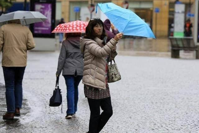

There are also reports of trees being felled in Kirk Sandall and Thorne.
Meanwhile, rail passengers have also been facing disruption after power lines were brought down between Leeds and Wakefield Westgate stations, hitting LNER and Northern services to and from Doncaster.
CrossCountry services have alos been impacted.
Last night, National Rail said: “Damage to the overhead wires between Leeds and Wakefield Westgate means all lines are blocked. As a result, trains may be cancelled, delayed by up to 60 minutes, diverted or revised.”
“Network Rail engineers are on site and are working on repairs."
Meanwhile, Doncaster remains on alert by the Met Office, with two separate yellow weather warnings issued as Storm Darragh is set to batter the UK with 80mph winds and torrential rain.
A yellow warning of wind comes into force from 3pm today, running until 3am on December 6.
A spokesperson said: “Some disruption is possible from strong and gusty winds.
"Some delays to road, rail, air and ferry transport are likely, with probably some bus and train services affected, with some journeys taking longer
“Delays for high-sided vehicles on exposed routes and bridges likely and some short term loss of power and other services is possible.”
A third yellow warning of wind starts at 3pm on December 6 and runs until 6am on December 8.
The Met Office said: “Strong winds associated with Storm Darragh are likely to lead to some disruption and damage.
“There is a small chance of injuries and danger to life from flying debris, there is a slight chance of some damage to buildings, such as tiles blown from roofs
“It is likely that some roads and bridges could close, with impacts from falling trees.
“There is a slight chance that power cuts may occur, with the potential to affect other services, such as mobile phone coverage.”
Northern Ireland, south-west Scotland and western parts of England and Wales could see gusts of up to 80mph (129km/h) from Darragh, which was named by the Met Office on Thursday.
The fourth named storm of the season, Darragh comes only weeks after Storms Bert and Conall caused disruption at the end of November.
Late on Friday, a developing area of low pressure will start to bring heavy rain and strengthening winds across western parts of the UK.
As this develops further into Saturday, this becomes Storm Darragh with its centre crossing northern England.
You can keep up to date with Storm Darragh at the Met Office website.