
Arctic blast: Doncaster could see snow in the coming days as temperatures plummet
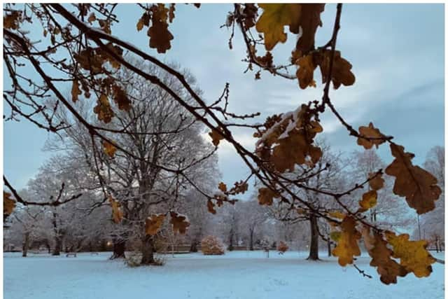
The region is set for the first wintry weather of the season.
Doncaster faces the risk of snow and other wintry hazards in the coming days, according to forecasters.
Cold Arctic air is sweeping across the country and the wintry trend is set to continue well into next week.
The Met Office’s chief forecaster, Chris Bulmer, said: “The UK forecast has moved to a colder phase with the daytime temperatures for most locations likely to stay in single figures.
“Overnight temperatures on Friday night will dip again to -4 or even -6 C in some locations, meaning another significant ground frost for many locations.”
On Monday night into the early hours of Tuesday rain is set to push in from the west and when this bumps into the colder air sitting over the northern half of the country there is a risk the rain could turn to sleet and snow, especially over higher ground.
Although during the course of next week things look set to turn slightly milder for a time, but the respite might only brief.

According to the Met Office’s longer-term forecast “it could remain on the cold side overall further to the north, where there is potential for sharp overnight frosts where clear skies and light winds combine”.
Looking even further ahead to December, forecasters are bullish about the potential for more very cold and wintry weather.
“With a blocked weather pattern signalled to develop, this increases the chance of colder conditions overall, with associated winter hazards, e.g. snow and ice, occurring; this most likely further to the north.”