A combination of fields, forest and footpaths for this week's walk
This article contains affiliate links. We may earn a small commission on items purchased through this article, but that does not affect our editorial judgement.


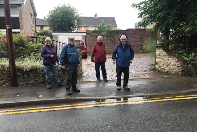
Luckily everyone gave themselves plenty of time and there were no late arrivals, we hope none gave up altogether though. The forecast today was for light rain, so in some respects a
gathering of seven is quite respectable.
Although starting from Campsall the walk basically
circumnavigates anticlockwise around Norton, using local footpaths through field and forest, and the occasional tarmac road.
Exiting the car park we turned left along Church Field Road
Advertisement
Hide AdAdvertisement
Hide Addashing right at a fingerpost into woods following the tree line and field edge along Ings Lane turning right at a T junction then left along a wide path passing industrial units to head into
Norton.
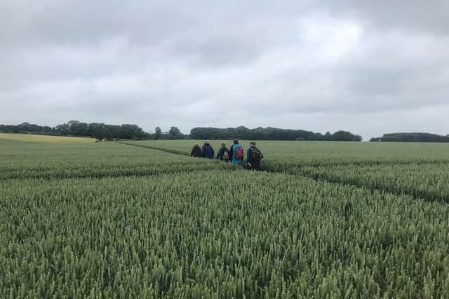
Following the High Street right we turned left into Stubbs Lane heading north crossing the River Went at Tanpit Bridge before turning left and left again to head back south along a field cultivated with corn one side and oats the other.
Heavy rain in recent days left many of the paths wet and overgrown, so waterproofs were the recommended kit of the day.
Reaching Walden Stubbs Road and the site of Norton Priory we stopped for a short break, but there was nothing to see. Norton Priory was developed on the banks of the River Went but this never grew to be particularly significant and was subsequently demolished following the dissolution of the monasteries in 1588.
Advertisement
Hide AdAdvertisement
Hide AdThe route continued west along Norton Mill Lane which despite the name showed very little sign of traffic on what is a public right of way.
The same could not be said for other roads travelled i.e the public highway. To be fair not only do we take care but most motorists are cautious and careful too.
Eventually we are back in fields heading for Windmill Cottages continuing on to reach Ings Lane heading south and retracing our step back to the start.
Wet through but happy we completed this 5.7 mile ramble in two and a half hours.
Advertisement
Hide AdAdvertisement
Hide AdRules continue to change regarding outdoor exercise and group activity so please visit our
website Doncaster Ramblers for latest, including future activity.
Also follow us on Facebook Doncaster Ramblers for details of past Rambler outings.
Most of us take a flask for a hot drink mid-morning, followed by a packed lunch, usually in the vicinity of a pub or a cafe.
Advertisement
Hide AdAdvertisement
Hide AdRemember while out observe social distancing, carry a mask, hand sanitiser, and gloves.
Doncaster Ramblers Tuesday and Saturday walks, mostly between eight and 11 miles.
Obey the Countryside Code and give way to other walkers.