White Christmas odds 2022: Bookies favouring snow while Met Office remains cautious about festive forecast
and live on Freeview channel 276
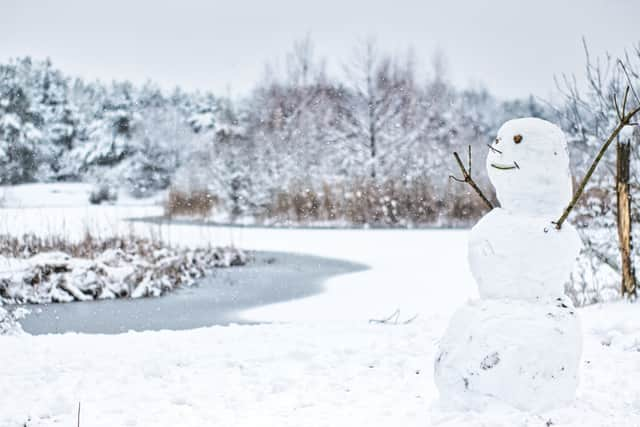
If you’re dreaming of a white Christmas, you could be in luck this year as the odds are looking favourable for snowfall on Christmas day. The last time the UK saw magical blankets of snow and snowman building on Christmas day was back in 2010.
But weather experts say that it is possible that we could see snowy Christmas card scenes for the first time in over a decade as the cold weather continues through December. The Met Office defines a ‘White Christmas’ as a single snowflake spotted falling at any time on December 25 somewhere in the UK.
Advertisement
Hide AdAdvertisement
Hide AdTraditionally the Met Office used the single location of the Met Office building in London to determine if it had snowed. However, with the increase in betting on where will see a white Christmas, the number of locations has increased and can now include sites such as Buckingham Palace, Belfast (Aldergrove Airport), Aberdeen (Pittodrie Stadium, Aberdeen FC), Edinburgh (Castle), Coronation Street in Manchester and the Principality Stadium in Cardiff.
Betting agents such as Ladbrokes, are in favour of snow falling on Christmas day and are offering odds of 11/10. William Hill is also offering 11/4 for Glasgow, 9/2 for Leeds and 5/1 for Birmingham.
Leon Brown, of The Weather Company, said: “The Christmas period looks like seeing milder, moist air coming to the UK and hitting the cold air.
“This would bring snow, especially in the South and even to low levels. The North is more likely to have a continuation of the cold air and wintry showers.”
Advertisement
Hide AdAdvertisement
Hide AdWhile a Met Office forecaster said: “From December 24, conditions may be widely changeable, with some spells of rain, and at times snow.”
Met Office Forecast for Christmas - will it snow?
Thursday, December 15 - Saturday, December 24
The Met Office predicts there will be snow showers from Thursday continuing across the north and east, and possibly in the southwest, mainly confined to coastal regions, but reaching inland across Scotland. Elsewhere, a mostly dry and sunny day.


Possible wind in the north with a risk of gales, and feeling cold with widespread frost overnight. For the rest of the period, conditions are predicted to stay similar, with wintry showers in coastal regions, especially the northeast.
Often dry and cold inland with widespread frost and a chance of freezing fog in places. A more unsettled regime is likely to move into parts of the south or west later, bringing spells of rain and possibly snow. Temperatures continue below normal for most, possibly increasing to nearer normal in the south and west later.
Advertisement
Hide AdAdvertisement
Hide AdSunday, December 25 - Sunday, January 8
Met Office forecasters predict the weather generally remain uncertain for the rest of the period. Conditions may be widely changeable, with some spells of rain, and at times snow.
Colder and more settled conditions with occasional wintry showers could continue, particularly in the north, with the south possibly seeing more unsettled conditions. Temperatures stay colder than average towards the end of December and the start of January, although perhaps less cold in the south.
Comment Guidelines
National World encourages reader discussion on our stories. User feedback, insights and back-and-forth exchanges add a rich layer of context to reporting. Please review our Community Guidelines before commenting.
