Snow and ice to hit Doncaster AGAIN as weather warning issued
and live on Freeview channel 276
The cold weather conditions could cause travel disruption again in South Yorkshire this evening (January 22) and early Saturday (January 23) according to meteorologists – just eight days after heavy snowfall forced schools to close and roads to be shut in Doncaster.
A yellow weather warning is in place across the town with temperatures set to fall to 0°C tonight, as the Met Office expect icy patches to form on untreated roads, pavements and cycle paths, increasing the likelihood of accidents.
Advertisement
Hide AdAdvertisement
Hide AdRoads and railways are also likely to be affected by the snowfall forecast for today and tomorrow morning, with longer car journey times and delays to bus and train services.
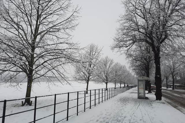

Cold weather will continue on Saturday with cloud cover throughout the day and some sunny intervals, while temperatures will remain low, ranging from 4°C to 0°C.
The snow showers are expected to bring between 1cm and 3cm of snowfall in places, which will accumulate at low levels mostly across South Yorkshire, North Yorkshire, West Yorkshire and the rest of northern England, alongside Scotland and Northern Ireland.
However, around 5cm to 10cm of the white stuff could fall in higher areas across the country, while clear skies between snow showers will also bring the threat of ice.
Advertisement
Hide AdAdvertisement
Hide AdDrivers are encouraged to only travel for essential reasons and to plan for additional time to complete journeys as ice and snow will create dangerous road conditions.
The snow and ice warning comes as Storm Christoph pulls away from the UK and rainfall starts to ease, although river levels in parts of the UK could continue to rise for a little time to come.
Met Office chief meteorologist Paul Gundersen said: “Colder air is now established across the UK as Storm Christoph moves away into the North Sea, and gale force winds will impact the northeast of the country.
“There are three National Severe weather warnings in place, two in north and east Scotland, one for rain and one for snow valid until noon on Friday, and an ice warning cover western Scotland, north west England, Northern Ireland and much of Wales, valid until 10am on Friday.”