Watch: Dramatic drone footage shows extent of Storm Babet flooding in Doncaster
and live on Freeview channel 276
The clip, captured by drone enthusiast Nick Davison and shared to YouTube, shows roads and acres of farmland under cover after the River Don overtopped in several places following torrential rain last Friday and Saturday.
Fortunately, homes and businesses in Doncaster escaped relatively unscathed compared to the horrendous scenes seen in other parts of the country – but the clip shows just how much of Doncaster is still under water after the deluge.
Advertisement
Hide AdAdvertisement
Hide AdThe footage shows the area in between Barnby Dun and Arksey and Bentley and around Thorpe Marsh, with Fordstead Lane completely underwater in the five minute clip, which you can watch in full HERE
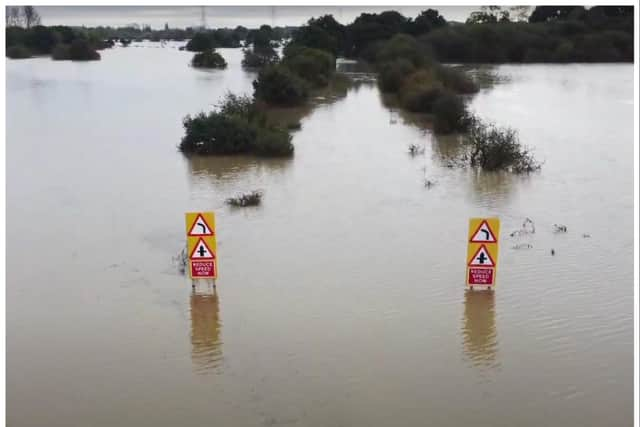

The road, which connects Barnby Dun with Arksey, is regularly flooded in heavy rain and has been closed a number of times over the years.
Flood warnings across Doncaster following Storm Babet have now been stood down.