Crime and ASB in three licensed zones in Doncaster increases
and live on Freeview channel 276
Licensing teams at Doncaster Council have put in place three Cumulative Impact Areas since 2008 in the town centre, Town ward and streets within Bawtry.
The town centre CIA saw 1,804 incidents in 2018/2019 but this increased to 1,945 in 2019-20.
Advertisement
Hide AdAdvertisement
Hide AdIn both years, violence, theft and public order offences were the most commonly reported.

In the Town ward CIA, 658 incidents were recorded, but this increased to 814 in 2019-20.
Violence, theft and arson & damage were the top three most common incidents.
The Bawtry CIA had the smallest increase from 158 to 164 incidents. Theft was the most-reported crime with more than half of incidents. Burglary and violence came second and third.
Advertisement
Hide AdAdvertisement
Hide AdAny new licensed premise in any of CIA will have extra checks and could be refused if deemed to be detrimental to the area.
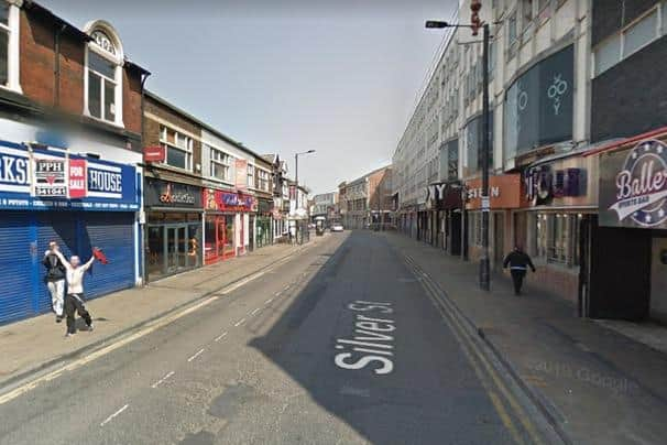
Area one, Doncaster town centre, includes Bradford Row, Cleveland Street, Hall Gate, High Street, Market Place, Priory Walk and Silver Street.
Area two, Town ward, includes Broxholme Lane, Christ Church Road, Copley Road, Highfield Road and Nether Hall Road.
The area was included following consideration of evidence from the Director of Public Health, identifying the area to be experiencing high rates of violence, criminal damage and antisocial behaviour.
The Bawtry zone includes Church Street Grasswood Lane/Dower House Square, High Street, Market Place, Scot Lane, Swan Street and Wharf Street.
Advertisement
Hide AdAdvertisement
Hide AdThe area was added as a CIA following the consideration of evidence from Bawtry Town Council, identifying concerns of nuisance and anti-social behaviour believed to be related to those visiting licensed premises, and the evidence from two borough councillors representing the ward.
David Smith, borough council licensing officer, said: “In terms of cumulative impact assessment and proliferation of alcohol outlets, Public Health and other responsible officers locally are working with Public Health England to develop an interactive map.
“The map will include demographics and characteristics such as emergency admissions related to alcohol, crime and disorder statistics for the area, as well as the location of alcohol sales.
“This map can be used to plot new licence applications to give an overall picture of the area; it will aid with the decision-making process, as well as offer insight into areas when new licence applications are received.”
Comment Guidelines
National World encourages reader discussion on our stories. User feedback, insights and back-and-forth exchanges add a rich layer of context to reporting. Please review our Community Guidelines before commenting.