History all-around on circular Doncaster walk


Much of the route is across arable land cultivated with, on this occasion, wheat, oilseed rape, and oats.
From the car park on Church Field Road, close to Beech Road, turn left and head up Church Field Road for 250 metres. Opposite Park Drive there is a footpath leading into woods. Take this. Continue in this direction for quarter-of-a-mile then turn right and follow for another quarter-of-a-mile before turning left. This uninspiring wide track leads to High Street, where you turn right, following the road round turning left on Stubbs Lane. Stay on Stubbs Lane for just more than half-a-mile, to reach the ancient remains of a Stone Cross
Advertisement
Hide AdAdvertisement
Hide AdTanpit Lane cross is a good example of a medieval cross still standing in its original position. Its importance is enhanced by its proximity to Norton Priory, which lies just across the River Went. The remains of the medieval cross, located at the end Tanpit Lane, is a Grade II-listed monument, and is sited 550m north-east of the core of Norton Priory. It is thought to be a wayside cross related to the priory. It survives as a socketed cross base, orientated to the cardinal compass points.


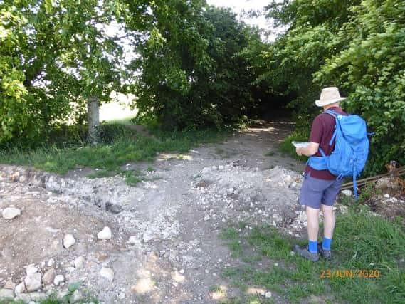
Directly opposite the cross there should be a footpath entrance in the hedge, but unfortunately the opening is over grown so a detour takes us 250m further along Tanpit lane to a T-junction. Turn left, and after 180m turn left again at a way-marker. Continue in this direction for just under half-a-mile. On reaching Walden Stubbs Road turn right.
Norton was first mentioned in the Domesday Book of 1086 where it is recorded that it was owned by Ilbert de Laci. A chapel is believed to have been situated at the top of Priory Road or Hall Lane – on the left as we continue straight ahead - in the area known as Priory Garth. This part of the parish is now known as Norton Priory.
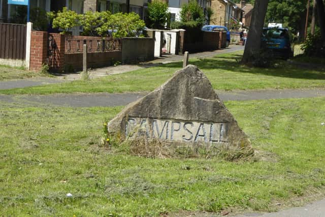
Follow Norton Mill Lane as it twists and turns and eventually after just more than half-a-meil exits onto Spittlerush Lane. Turn left and remain on the road for 560m to reach cross roads. Turn right then after 350m as the road bents right continue on the footpath ahead, by gate. After 280m at a finger post turn left and head towards windmill in distance. Follow the track left through farm yard and continue in this direction for half-a-mile, crossing Ryecroft Road to eventually reach Campsall Balk.
Advertisement
Hide AdAdvertisement
Hide AdTurn left and immediately right at a way-marker to head south on Ings Lane. On reaching a wide track by the entrance of woods turn right and shortly after left to return to Church Field Road and the car park quarter-of-a-mile away.
Following the easing of lockdown restrictions, Doncaster Ramblers have restarted a series of short, local walks – see doncasterramblers.org.uk