Get close to nature - but watch out for the nettles
and live on Freeview channel 276
The route I’d chosen for the walk of just more than five miles around Westwoodside was relatively straightforward and almost flat, starting at the junction of Tower Hill and Mill Lane.
1. Walk up Mill Hill to reach Upperthorpe Road across from which there is a narrow alleyway. I took the way ahead, but regretted it, as it was overgrown with nettles and shrubs.
Advertisement
Hide AdAdvertisement
Hide AdTo avoid this there is a detour, which I did assume is safer. Turn right on Upperthorpe Road and after about 130 metres turn left on a footpath. Follow this north for about 500m then turn left onto the Peatland Way for 150m turning right. You are now hopefully back on track.

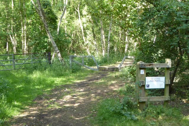
2. Follow the Peatland way 970m then turn left along wide path leading into woodland and the Haxey Turbary Nature Reserve. Shortly after exiting the wood turn left, then after 160m left again. Continue on the path as it turns right then heads south for 1,500m, crossing two footbridges, to reach a T-junction of paths. Turn right and follow path to Cove Road.
3. Turn left on Cove Road and after 300m take the footpath right to reach Nethergate. Cross and walk down Sandbeds Lane. After 600m at a junction of paths turn left and walk uphill towards the water tower, which has been a visible presence on the second half of this walk. On reaching Tower Hill turn left to reach the end.
Another walk with a warning to cover arms and legs due to nettles is this independent 5.3-mile route around Cadeby.
Advertisement
Hide AdAdvertisement
Hide AdThe walk begins at the junction of Green Lane and Cadeby Lane. Walk down Cadeby Lane passing the Cadeby Pub and Restaurant and where the road bends right, continue straight going through metal barrier.
1. Continue for a quarter of a mile to reach a rough patch of ground, decent slope and turn left. You are now on the Trans Pennine Trail. Follow this for 900m passing under a bridge. Shortly after, there is a track on the right, Follow this for 200m, through a short tunnel, to reach the River Don.
2. Turn left and follow the bank of the river for about 1.5 miles. Take care as most of the early stretch is overgrown with nettles. On route you will pass under Conisbrough Viaduct, all the time with the meandering Don on your right side. After 1.5 miles, as the TPT swings right, you pass through a gate and enter Sprotborough Flash Nature Reserve.
3. Follow the path as it swings left uphill then at a T-junction turn right. Continue for half-a-mile before reaching a bench on left and overhead cables. Continue – on the blue route, do not use the red route – straight for 350m to reach Nursery Lane, then turn left. Remain on Nursery Lane for quarter-of-a-mile then take footpath left and after 160m turn right, then follow track as it zigzags to reach finger post. Turn right then left at the end. The final three-quarters-of-mile stretch is mostly on concealed footpath hidden from the road.