Doncaster Ramblers enjoy route only open thanks to footpath fight


The castle was built after the Norman invasion of 1066 and had a chequered history until 1648, when it was razed to the ground.
We walk around Mill Dam and along Lindrick – Lindrick and Dadesley were Anglo-Saxon settlements before Tickhill was established.
Advertisement
Hide AdAdvertisement
Hide AdAt the end of Lindrick, we crossed the main road into Crooked Lane Head and followed this track over the railway bridge, which once crossed the South Yorkshire Junction Railway.
This line opened to passengers in 1910 but had been built mainly to carry minerals. The passenger service finally closed in 1929.
After a bend to the right this track becomes Stump Cross Lane, which we followed to Blyth Gate Lane, which we crossed.
After about 300 metres we entered land owned by the Sandbeck Estate.
Advertisement
Hide AdAdvertisement
Hide AdIn April 2010, a notice appeared stating the the route was not a public right of way.
This was correct, but people had been using this track for hundreds of years.
The name, Stump Cross Lane, indicates the likelihood there was once a medieval cross on the route, which follows the high ground in a direct line with Tickhill Friary.
Bearing those facts in mind, and wondering why the Sandbeck Estate would want to deny access, I began the process of claiming the route as a public right of way.
Advertisement
Hide AdAdvertisement
Hide AdThis involved getting more than 20 witnesses to state that they had used the route, ‘without interruption’, over a 20-year period.
One witness, Betty Kitchen, remembers using the route in the 1950s.
This was done and the claim was made, but the Sandbeck Estate appealed, which led to a public inquiry in December 2012.
The consequence of all this was the inspector concluded the order to create a public right of way, be confirmed.
Advertisement
Hide AdAdvertisement
Hide AdUpon reaching Sandbeck Lane we turned right for about 800m until reaching a footpath on the left.
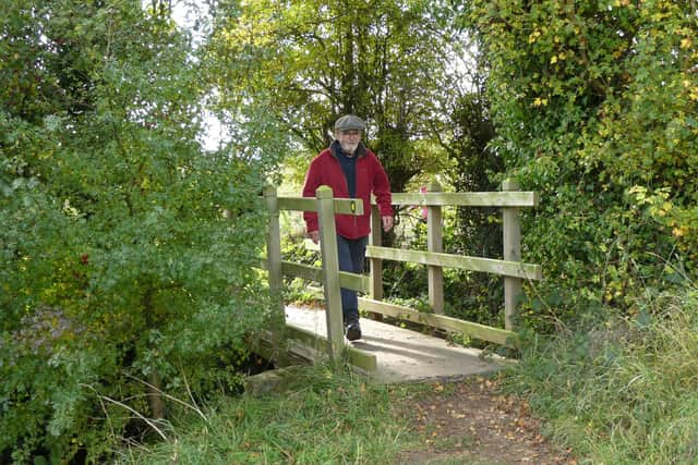
We took this footpath down to the A631, crossing a plank bridge which took us out of Doncaster and into Rotherham.
We crossed into Limekiln Lane, where there is a memorial to an explosion at Maltby Colliery in 1923.
Further along there is a big field on the right after which the lane was named.
Advertisement
Hide AdAdvertisement
Hide AdAfter about a kilometre along Limekiln Lane we took a footpath off to the right.
This is a delightful path through light woodland, and across fields to the strangely named Denaby Wife Bridge.
There is then a gentle climb to Hindley Lane, is an enclosed ancient trackway. To the Anglo-Saxons ‘ley’ meant a forest clearing. These days there are more llamas to be seen than deer on Hindley Lane.
The simplest way from Hindley Lane back to the Buttercross is to turn right when you reach Apy Hill Lane and follow the road back to the Buttercross.