
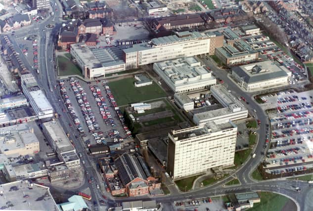

Our photographer at the time, Dennis Lound, took these amazing pictures of Doncaster from an aeroplane.
Today, comparing them with new pictures of the area taken from Google Earth shows had Doncaster has been transformed since Dennis took his pictures.
Looking the pictures, it is possible to see the changes around the Dome, which has seen work carried out to build a cycle track since they were taken.
It also shows how Waterdale has been transformed with the new Cast theatre and council offices, and the demolition of Council House.
Pictures showing the Waterfront also show how it has been transformed since the 1990s.
In these confusing and worrying times, local journalism is more vital than ever. Thanks to everyone who helps us ask the questions that matter by taking out a subscription or buying a paper. We stand together. Liam Hoden, editor.
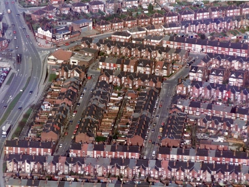
5. Wheatley Hall Road then
Wheatley Hall Road at the junction of Wentworth Road showing the Mines Rescue Station - 7th March 1995 Photo: Dennis Lound
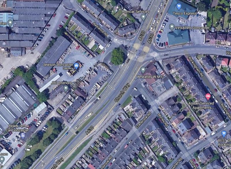
6. Wheatley Hall Road now
Wheatley Hall Road now. Note the redeveloped corner at Wentworth Road. PIcture: Google Photo: Google
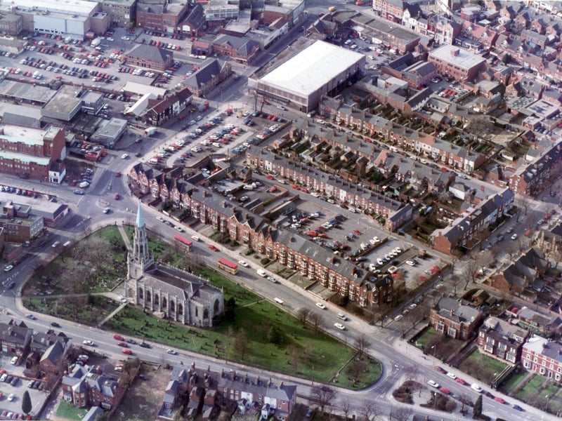
7. Doncaster Christchurch then
Aerial picture of Doncaster Christchurch, Thorne Road Photo: Dennis Lound
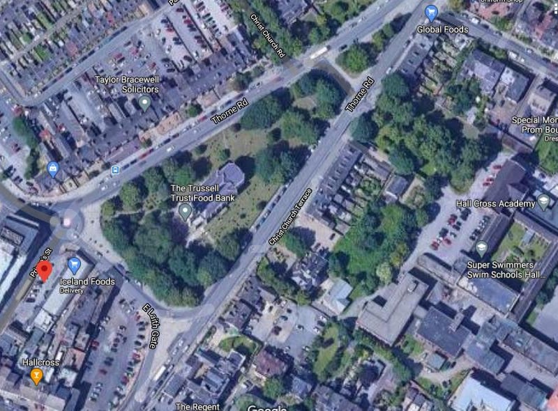
8. Christchurch now
Few changes other than the leafy trees are obvious at Christchurch, Thorne Road, now. Picture: Google Photo: Google