
Doncaster Ramblers enjoy Tickhill history of the landscape
This walk was advertised in the monthly Tickhill Today magazine, offering the walk to the local public as well as to Ramblers.
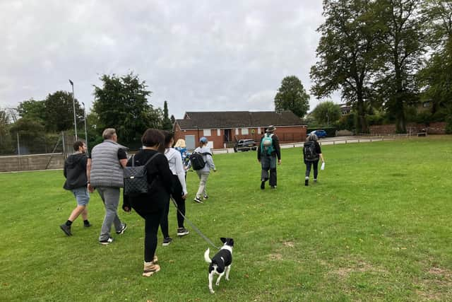
We met at Tithes Lane pavilion, 33 of us and a number of dogs. The background to the local history was explained, with land below the 15 metre contour line being marshy or wet from about 500AD until the weather became warmer and started drying out, aided by the area being drained by Thomas Tofield, who lived at Wilsic Hall, in the late C17th.
There are a number of settlements on this 15m contour line - Tickhill, Eastfield Farm, Wadworth, Loversall, Old Rossington, Hesley, Limpool, Sandrock, Haworth Styrrup and Bagley Green in the immediate area. There were two routes across the wetland, one was what is now Sunderland Street and the other from Eastfield Farm towards Limpool.
Prior to the establishment of Tickhill following the Norman invasion of 1066, the were settlements at Lindrick to the south and Dadesley to the north of the current town. The footpath from Tithes Lane through to Common Lane was almost certainly the path which linked these two settlements.
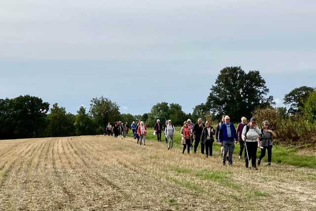

We followed this path and turned right onto Common Lane. In this area archaeological finds include a Roman bow brooch and waist disc (2nd century AD), papal bull head seal (1250), medieval clasps, a key, a bronze buckle, a lead seal, a 1280 penny, a Henry 111 penny, two medieval heraldic pendants.
These were found in the 1980s, presumably when the housing estate was built. We turned left up the roadway towards Eastfield Farm, noting that the land on the right sloped away to show us that we were on the edge of the original wetland. From Eastfield we could see All Hallows Hill, the site of a Saxon church.
In historical records the death in 1670 of William Oddy is recorded, who died after being crushed by some stones he was carrying on his cart, possibly stones being re-used in a local farm.
Tony Sheridan added that, during some tree-planting on Oddy Lane members of the Tickhill Countryside Group (who have planted well over 5,000 trees in a 25 year period) came across some dressed stones which, surely, cannot have come anywhere but from the Saxon church. The church was excavated in ther late 1980s.
In this area is the lost settlement of Dadesley which was mentioned in the Domesday Book of 1085 as having a church with a priest. There was an active settlement large enough to have had a market in c939, according to records.
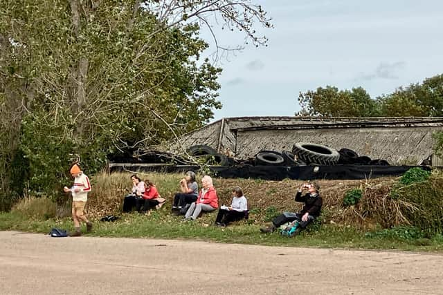
The '-ley' in the name indicates that there was a clearing in the well-wooded area. From here we walked down to the road and turned right and onto Wellingley Lane, crossing the A1M, this section having been built as the Doncaster by-pass in 1961. We followed an attractive field-edge route onto Stancil Lane, seeing a deer and a buzzard en route. We made our way along the lane to Stancil, where we stopped for refreshments and were briefly joined by the farmer and his wife.
After the break we wandered around to the field of cattle which once housed a Roman villa. This field is a Scheduled Monument. Skeletons were found in this field when some digging out was being undertaken in 1938. The police were called out and 'perhaps up to 40 skeletons' were found. The site was visited by R Smedley of Doncaster Museum, who undertook a small excavation, revealing stone walls and two more skeletons.
The 1938 find led to a proper excavation later in 1938 and in '39 by Professor Whiting. He uncovered two rooms within a larger building, with the remains of a bath-house noted in trenches a little to the east; the walls in the excavated rooms remained standing to a height of 1metre. Two periods of structural change were noted: a small under-floor heating system was added to the west end of the westernmost room, both rooms were filled with rough concrete in order to support a new floor surface and a partition wall was erected abutting onto the northern wall of the structure.
Various pottery finds were made including local 'Derbyshire ware' and Romano-British coarse-ware indicating an occupation during the 3rd century, perhaps extending into the early 4th. Five Roman coins and the remnants of six Roman pots were found. A total of about 80 human skeletons of all ages and both genders, all dating from the early Anglo-Saxon period, were found. Many items are in the Doncaster Museum.
Roman villas were not only elite residences but acted very much as farm estate management centres and it is highly probable that the estate managed from the villa would have managed surrounding farms. The area around Stancil shows cropmark evidence of a large rectilinear field system extending over the entire area. Trackways and a possible large droveway are also present.
Some cropmarks are on a different alignment suggesting multiple phases of occupation but all probably relate to activity within the period 500BC to 400AD. Roman villas were not only elite residences but acted very much as farm estate management centres and it is highly probable that the estate managed from the villa would have managed surrounding farms. The Roman fort at Rossington was only a mile away so it's possible that a Roman officer from the fort established the villa.
From Stancil we walked broadly south alongside Middle Drain, deliberately ignoring the correct right of way route because the farmer has tried to get the path diverted to this route, so far without success. We joined the northern tip of Hopyard Lane, where there was once, surprisingly, a hop-yard.
We followed a field-edge path in a westwards direction, this path having been diverted from a crossfield path 6-7 years ago. The second route across the wetland would have come from Eastfield to the original crossfield route.
We soon left the Middle Drain and started walking alongside the heavily overgrown River Torne around and beyond Sheepwash Lane. We crossed the footbridge and soon left the Torne to walk crossfield to Paper Mill Lane and across the A1M again and ultimately back to the Tithes Lane pavilion. Thanks to Dave L for back-marking.
David Gadd