DONCASTER RAMBLERS: Be warned both routes are challenging
This article contains affiliate links. We may earn a small commission on items purchased through this article, but that does not affect our editorial judgement.
and live on Freeview channel 276
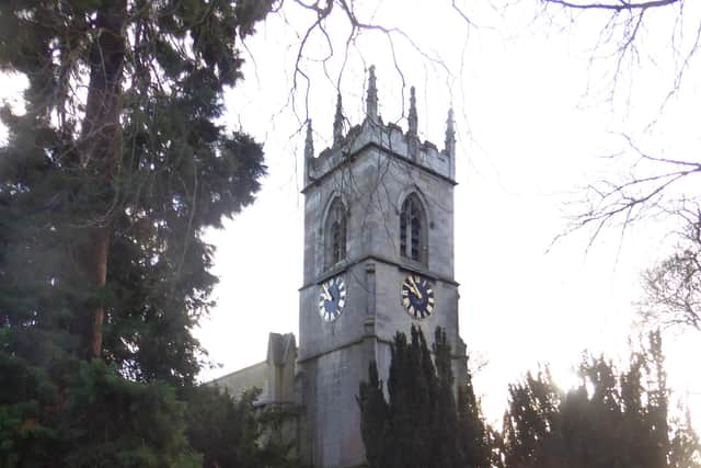
It was a chilly morning without rain, as we set off from St Michael’s Church and heading towards the level crossing.
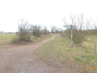
At a fingerpost we turned right following the path through a ginnel onto Atterby Drive then continuing to a footpath which led onto a footbridge over the River Thorne.
Advertisement
Hide AdAdvertisement
Hide AdOne of the many pleasures when out walking is encounters with strangers.

A brief “hallo”, a chat about the weather, the route taken adds another dimension to any ramble.
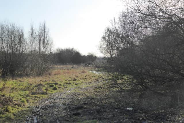
Today we learnt from a fellow traveller that the path ahead was flooded! Not surprising the amount of rain we’d had, so the decision was taken to try a detour. Instead of taking the footpath left up onto the flyover, we continued through the underpass, under the motorway, and on through a newish housing development.
Eventually reaching Bessacarr Lane we turned left onto a by-way leading to a railway crossing, then on through the southern edge of Bessacarr taking care to turn left onto Carr Lane at the end of which another railway crossing.
Advertisement
Hide AdAdvertisement
Hide AdNow back on “proper footpaths” we made our way over an iron footbridge then followed the path along the southern edge of Potteric Carr to pass under the M18 and the Great Yorkshire Way.
Officially back on track, that turned out to be a 2.8 mile detour adding about 1.6 miles to the route.
Anyway continuing on we now followed the track as it led around the side of the massive Amazon building, taking care after crossing the railway bridge to turn left parallel to the railway track onto a one and a quarter mile long path at a T-junction with Carr Lane.
Turning right we began the two and a half mile trek back to the start. However there was one final decision to be made.
Advertisement
Hide AdAdvertisement
Hide AdShould we climb the 86ft spoil heap, or take the three quarter mile base line route which is also prone to flooding.
We went over the top.
Once on top the idea is to head towards the burial ground, not the easiest task in the very soft going.
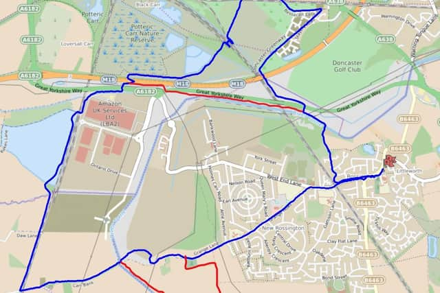
So be warned both routes can be a challenge.
Once at the burial ground it was a straight mile through New Rossington along Grange Lane then right at West End Lane for the last half mile back to the start. Final total 8.5 miles!
For more information about the Doncaster Ramblers and future activity please visit https://www.doncasterramblers.org.uk/ or follow them on Facebook https://www.facebook.com/doncasterramblers/
Advertisement
Hide AdAdvertisement
Hide Ad*Please take care when walking and follow the Countryside Code.
Follow government guidelines, you can walk outdoors once a day as part of your daily exercise – by yourself, with members of your household or support bubble, or with one other person. Only walk locally.
In these confusing and worrying times, local journalism is more vital than ever. Thanks to everyone who helps us ask the questions that matter by taking out a subscription or buying a paper. We stand together. Nancy Fielder, editor.
Comment Guidelines
National World encourages reader discussion on our stories. User feedback, insights and back-and-forth exchanges add a rich layer of context to reporting. Please review our Community Guidelines before commenting.