Fields of wheat make for a super walk
and live on Freeview channel 276
The route took us though endless fields of wheat and barely some chest high, plus the occasional deep dark forest, and all the time brilliant bright sunshine.
Starting from Hooton Pagnell Hall, walk south along Bilham Lane for 80 metres then take the concealed footpath right by fingerpost.
Take care climbing down the steps, but then the view suddenly opens ahead.
Advertisement
Hide AdAdvertisement
Hide Ad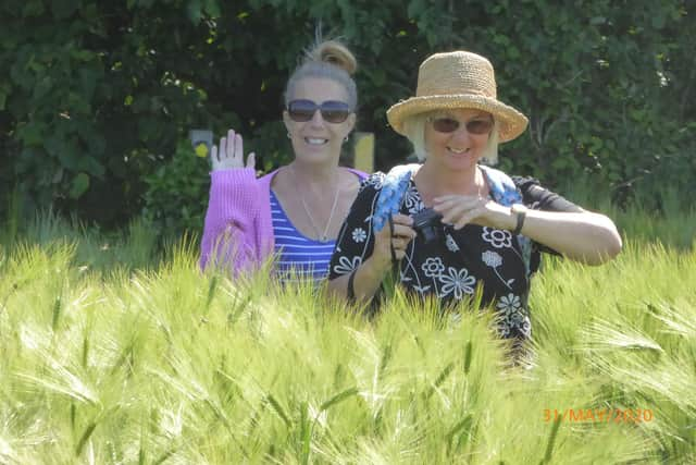

There is a footpath, possibly disguised as tractor tracks, leading to a wood 560m away to the west. Pass through the wood and continue for another 560m to reach Church Field Road.
Turn right for 480m and just after a wide track take a footpath on the left and head towards Hooton Pagnell Wood 380m away.
The path now begins to circumnavigate the wood taking care after 300m to turn right at a T-junction.
Continue first through woods then across meadow to reach Elmsall Lane 1,100m away. Turn left and just beyond Moorhouse Lane turn right onto a disused railway line. Follow this for 720m watching out for a well concealed footpath right. Take this as it winds left and right around Moorhouse Grange to reach Moorhouse Lane.
Advertisement
Hide AdAdvertisement
Hide Ad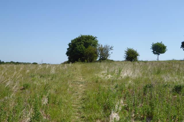
Turn left following the road around to the right, and at the fork continuing onto Stanwell Lane.
There is a modest climb as you continue for one kilometre southwards crossing North Field Road arriving at Lenny Balk. Continue in a southerly direction passing woods to reach after 660m a footpath on the right. On reaching North Field Road again, turn sharp left, pass through gate and walk south down Back Lane eventually turning right down an avenue of trees to reach the main road. Turn left back to the start taking care on the narrow road.
This second four-mile ramble is described as an ‘an ideal outing for families’, with easy navigation and only one stile to cross.
Beginning at Styrrup Hall, walk 320m towards the motorway bridge. On the left is a way marker arrow pointing right.
Advertisement
Hide AdAdvertisement
Hide AdFollow the path around to the left for 430m, then turn right and immediately left to continue a further half-mile on the path. The route then swings right over footbridge and left again. Pass through a small wood and continue on to a footbridge, on the right. Cross the bridge and head straight across open fields.
You are now heading into Tickhill 1km away. On reaching the village, continue along Lindrick then onto Castle gate with Mill Dam on your left, before heading left along Dam Road. Take the footpath left which exits at Lindrick. Cross and head down Water Lane.
Continue on Water Lane for half a mile. Eventually the track swings left and quarter-of-a-mile later you reach the footbridge again. Cross and immediately turn right to walk across open fields. After 500m the path becomes wider and gravelly and eventually tarmacked.
Pass under the motorway following what is now a country lane right to the outskirts of Harworth. Turn right on Styrrup Road and make your way along the pavement back to the start.