Enjoy a dry stroll on former wet land around Tickhill


It is one of the Tickhill and District Footpath Group’s regular walks.
The TDFG walks weekly, to monitor parish footpaths in the parish.
Advertisement
Hide AdAdvertisement
Hide AdThis walk is exclusively on land which was underwater from about 500AD until it was drained by Thomas Tofield in the late 17th Century.
The edge of the wetland was at about the 15-metre contour line and the modern settlements of Tickhill, Styrrup, Haworth, Sandrock, Limpool, Hesley and Old Rossington were established along the water’s edge.
1. From the Buttercross walk along Westgate, passing the library, to the corner.
Turn left, pass the entrance to the castle and follow the Mill Pond round to the right, keeping alongside the stream.
Advertisement
Hide AdAdvertisement
Hide Ad2. At the end of the new wall, turn left and enter Water Lane, still following the stream.
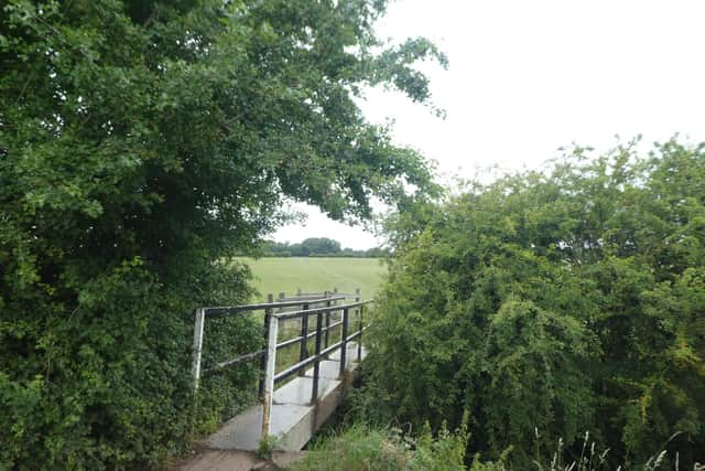
3. Follow Water Lane right around to the footbridge over the stream.
Cross the footbridge and turn right immediately before the kissing gate.
Pass the spiked pipe over the stream and then take a diagonal crossfield path to a stile.
This path is never marked by the farmer.
Advertisement
Hide AdAdvertisement
Hide Ad4. Cross this stile and take the left-hand path, following the hedge around until you come to another stile, which you climb.
5. Cross this field.
At the end turn to the right to another stile, then left alongside the A1(M) until you reach Sunderland Street.
What is now Sunderland Street was one of the two routes across the wet land referred to above.
6. Turn right under the bridge, then left along Paper Mill Lane for 200 metres, turning right at the tallest signpost in the area.
Advertisement
Hide AdAdvertisement
Hide AdFollow this path, which leads into a cross field path, which leads to the River Torne.
7. Follow the river to the footbridge, cross it and follow the river on the other side until you reach Sheepwash Bridge.
Turn left and walk along Sheepwash Lane, which leads into Common Lane.
8. Cross the motorway and take the steep footpath about 50m on the left, taking you alongside the motorway behind the houses.
Advertisement
Hide AdAdvertisement
Hide AdFollow this route, crossing Pasture Road and turning left by the water pumping station, then left into The Oval, over Alderson Drive and then left across the playing fields to Tithes Lane and hence to the Buttercross.
Following the easing of lockdown restrictions, Doncaster Ramblers has restarted a series of walks.
A spokesman said: “Given the current Covid-19 restrictions, these walks will operate under specific guidelines in order to maintain health and safety standards.
“Places on walks must be booked in advance. Appropriate social distancing should be maintained.”
For further information and to book on a walk, see doncasterramblers.org.uk