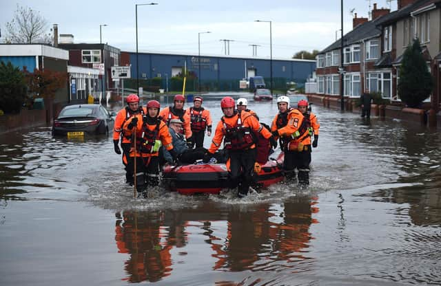
Hundreds of Doncaster homes in most deprived areas at 'significant risk' of flooding


A flood risk briefing, which is set to be presented to councillors, outlines what the council is doing and what needs to be done following the devastating floods of 2019.
In the document, it shows that 2,365 homes are at the highest risk of flooding – 648 of which are in the most ‘deprived areas’.
Advertisement
Hide AdAdvertisement
Hide AdA further 5,032 properties are said to be at ‘moderate risk’ and 21,645 at ‘low risk’. Doncaster as a whole, is said to be the ‘third highest’ risk area in the Yorkshire & Humber region.
The council has said it is preparing for potential flooding during the colder months.
A number of ‘sandbag hubs’ at Fishlake, Conisbrough and Bentley are set to finalised in the coming weeks and ‘self service’ are now available outside the council’s North Bridge depot.
Bosses said there is stock for 20,000 sandbags available from suppliers with ‘10,000 per day’ available for production.
Advertisement
Hide AdAdvertisement
Hide AdHighways Winter Service teams are on rota to provide operational support and council staff are working with the Environment Agency to identify key infrastructure that requires ‘additional protection.
Emergency planning event simulations are also said to be planned for staff training training.
Environment bosses at DMBC said the main sources of fluvial flooding come from the River Don which can directly impact Mexborough, Old Denaby, Conisbrough, Sprotbrough, Bentley and Fishlake and the EA Beck which is close to Toll Bar and Adwick.
Other sources are the River Idle in Bawtry. Ruddle Dike and Mill Pond in Tickhill and Kearsley Brook in Conisbrough.
Advertisement
Hide AdAdvertisement
Hide AdPaul Evans, drainage and street works manager at Doncaster Council, said: “Following the devastating floods that occurred in November 2019 where 811 properties were flooded.
“Doncaster Council as the lead local flood authority has a duty under the Flood and Water Management Act 2010 to carry out a full investigation of how the flooding occurred.
“The investigation will include who is the responsible risk management authority and to look at recommendations for trying to reduce the risk of this happening again in the future.
“The work highlights all that’s been carried out by the council’s flood risk team providing an update on progress on schemes and winter readiness since the November 2019 floods.”
*
In these confusing and worrying times, local journalism is more vital than ever. Thanks to everyone who helps us ask the questions that matter by taking out a subscription or buying a paper. We stand together. Liam Hoden, editor.
Comment Guidelines
National World encourages reader discussion on our stories. User feedback, insights and back-and-forth exchanges add a rich layer of context to reporting. Please review our Community Guidelines before commenting.